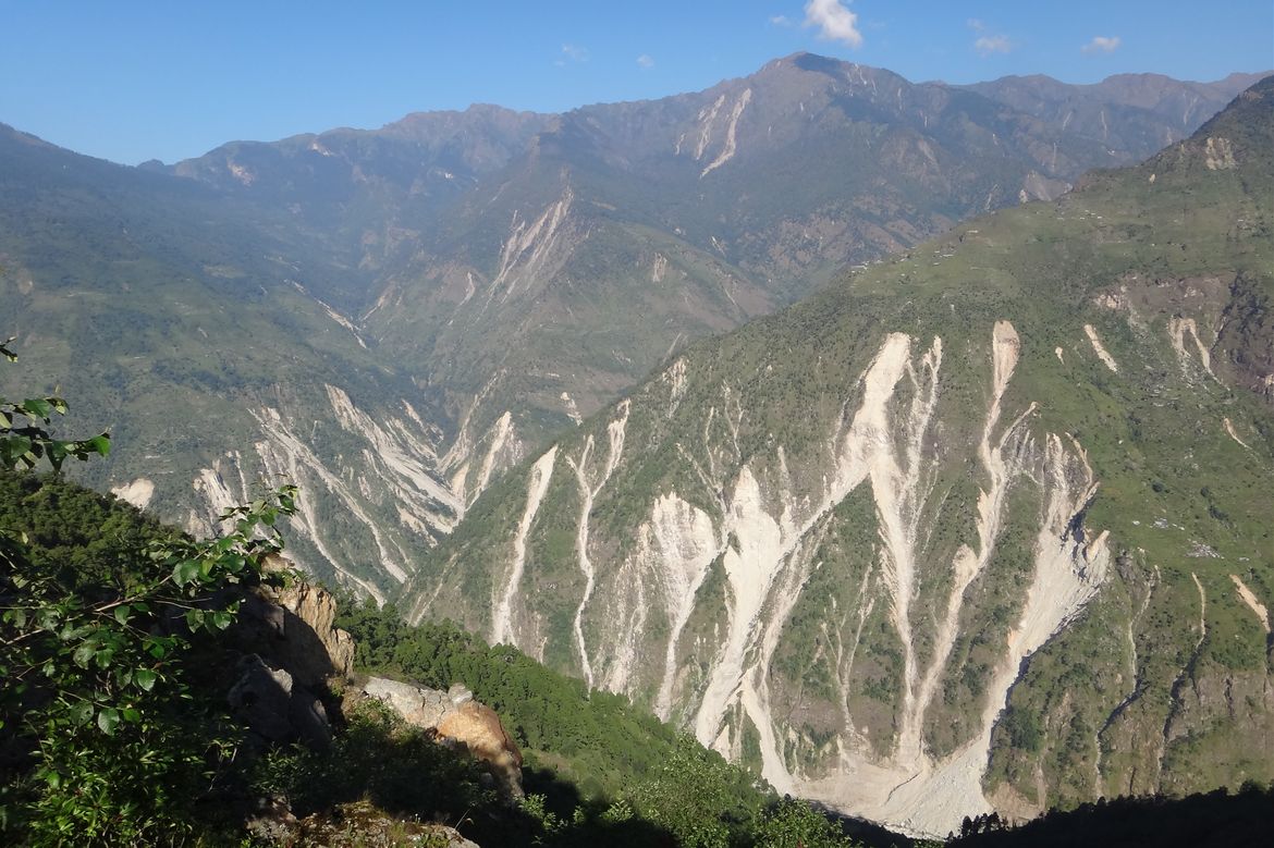
Gen Li | The Himalaya Mountains in Nepal after landslides caused by the 2015 Gorkha earthquake.
Each year, landslides kill thousands of people around the world and cause catastrophic property damage. But scientists are still trying to better understand the circumstances that cause them. Doing so would go a long way toward helping people predict where landslides could occur and how severe they might be.
A study led by Seulgi Moon, a UCLA professor of Earth, planetary and space sciences, could be a significant step toward that goal.
Moon and Gen Li, a former UCLA postdoctoral scholar who’s now at Caltech, created a new method to understand how topographic stress — which occurs when tectonic plates beneath the Earth’s surface slide toward each other enough to change the landscape above —influence landslide events. Their research is published in Nature Geoscience.
Learn More: https://newsroom.ucla.edu/releases/imaging-technique-identify-landslides